Services & Quotes
Two Track Aerial specializes in advanced industrial inspections, precise spatial mapping, tactical thermal imaging, and high-resolution aerial photography. Whether you require critical infrastructure data or professional media, we provide the technical expertise to deliver. Visitors can request a tailored quote for any project needs.
Inspection Services
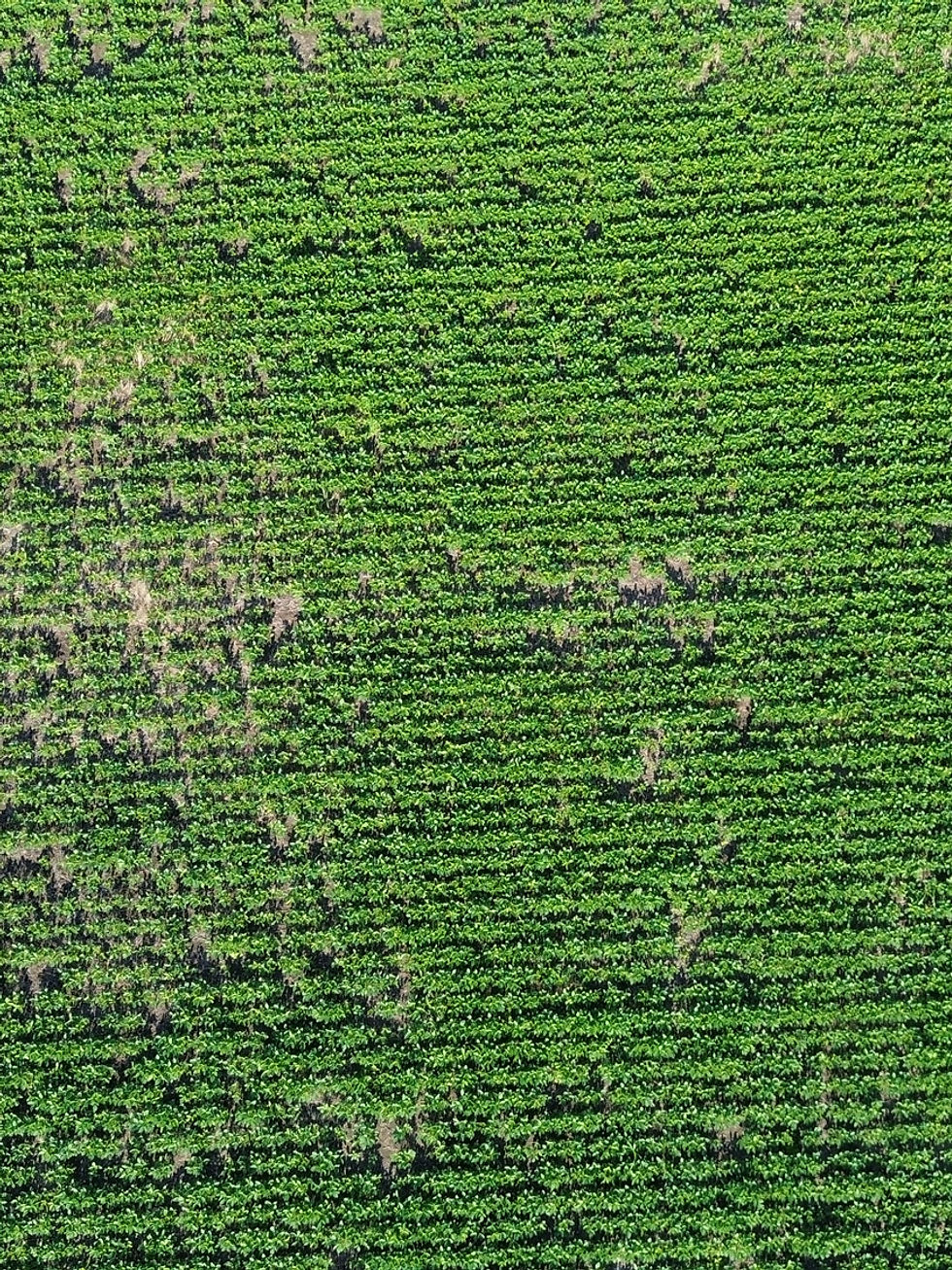
Mapping
- High-precision 2D orthomosaics for accurate site analysis.
- Detailed 3D modeling for comprehensive infrastructure overview.
Inspection Photography
- Critical high-resolution visuals for identifying asset defects.
- Safe and efficient access to hard-to-reach industrial areas.
Thermal
- Advanced signal analysis for precise thermal search ops.
- Non-destructive testing for identifying energy loss issues.

Aerial Photography Solutions
We provide high-resolution aerial media for businesses and real estate. Our photography is focused on clarity and professionalism, helping you showcase properties and industrial projects from unique, impactful perspectives.

Custom Drone Solutions
Have a unique aerial idea or specialized technical requirement? We invite clients with distinctive drone needs to reach out. Our team is ready to engineer custom solutions tailored specifically to your project's objectives.
Quote Request
Thank you for considering Two Track Aerial for your technical imaging needs. Provide your project details below, and our team will review the requirements to provide a tailored, professional quote within 24 hours.